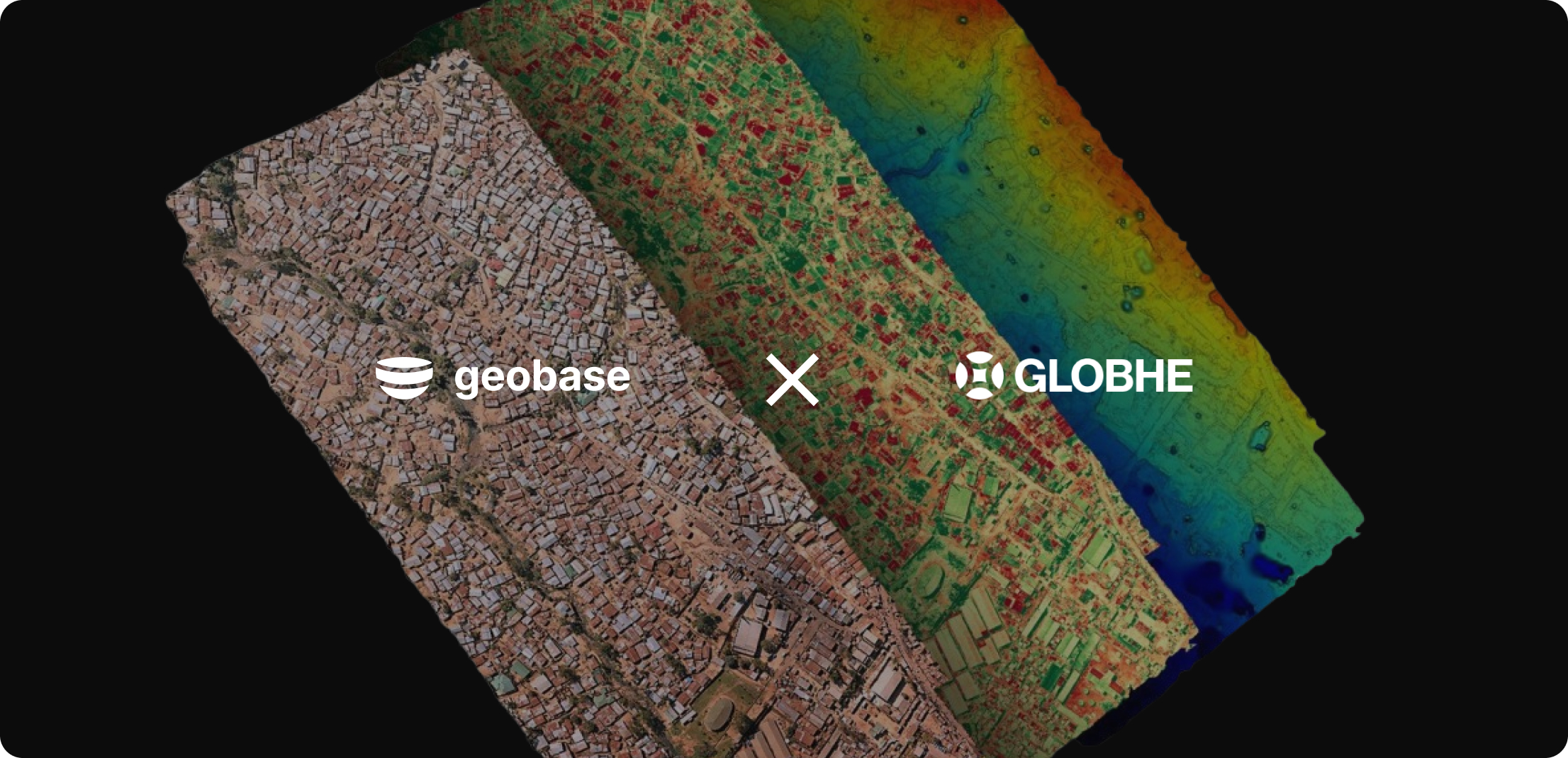
Announcing the Globhe Partnership

We're excited to announce a new partnership with Globhe, the world’s largest drone data marketplace, to take Geobase to new heights. With this collaboration, you can access high-quality drone footage from anywhere and process it seamlessly using Geobase tools.
Whether you're a solo developer or part of a larger team, this partnership opens up new possibilities. Plus, all Geobase users get a 10% discount on Globhe services.
Farmers can now identify crop issues early with high-definition drone footage, while urban planners and construction teams can use AI-converted drone footage into vector tile maps for better insights.
Here's something we're particularly excited about. We used Globhe to get drone footage and converted it into vector tile maps using some of our AI models.
This opens up a world of possibilities for urban planning, construction monitoring, and many other use cases.
Globhe offers a wide range of data types, including:
All of this integrates smoothly with Geobase to enhance your projects, enhancing your projects with rich, detailed information. For a comprehensive overview of available data types and their specifications, visit the Globhe Data Deliverables page.
This partnership isn’t just about convenience; it unlocks powerful new tools for geospatial developers. Try Geobase with Globhe, and see where it takes your projects!