A single platform for your geo projects
Our frontend-agnostic architecture will make it easy to bring your vision to life, no matter the complexity.
Whether you need to manage external data lakes, harness big data, process point-cloud files, or set up tile servers and multiplayer functionality – we've got you covered.

Built-in support for the most used geospatial data types
We're not married to any format. Work with LiDAR point clouds, GeoTIFF imagery, vector data, and more. Read our documentation for more information.

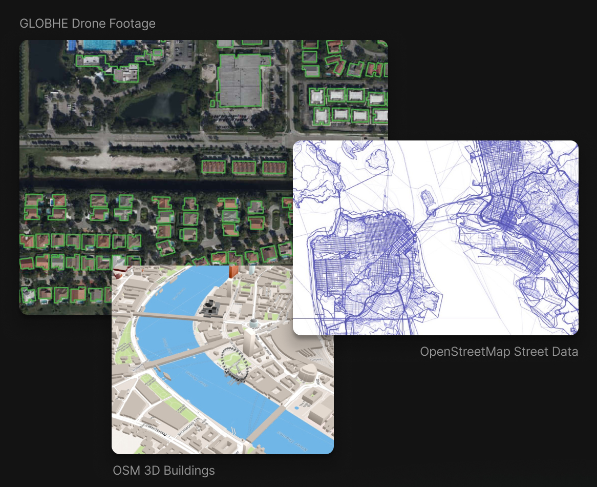
Work with high-quality data from any provider
Connect and analyze geospatial data from any providers such as OpenStreetMap, Overture Maps, GLOBHE, or your own custom sources.
See DocsBuilt-in support for external databases
Find a list of guides on how to setup all external data lake providers and services.
Leverage the power of Supabase with our extended geospatial features
No sacrifices needed.
We work with your stack.
We're not going to lock you to use only one type of technology. We leverage Supabase client libraries and other existing tools.
See DocsGet in touch
We'd love to hear your thoughts. Reach out via email or visit us in our offices if you're around Berlin. We also offer consulting services for teams that need help getting started.